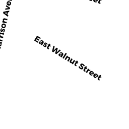
41R EAST WALNUT STREET
Owner Information
GRAHAM LANEE
41R EAST WALNUT STREET
TAUNTON, MA 02780


Property Details
41R EAST WALNUT STREET is classified as a Single Family Residential (Colonial).
The primary structure on this property was built in 1900. There are 3,538ft2 of built area within this property. There is 2,074ft2 of residential/living space within this property. This property is listed as having 8 rooms.
41R EAST WALNUT STREET is valued at $282,100. The land is valued at $58,900 and the structures are valued at $223,200.
This property is in Zone 3.31. Confirm with local Zoning Board authorities to ensure there are no overlays or other easements on this property.
The most recent deed for 41R EAST WALNUT STREET is recorded at the local registrar in Book 22732, Page 0261. 41R EAST WALNUT STREET was last sold on Monday, January 4, 2016 for $1.
Assessment data from fiscal year 2021.
Flood Data
According to the FEMA National Flood Hazard Layer, this property does not appear to be in a flood zone. It may also be in an area not yet reviewed. Nonetheless, confirm this information prior to taking any action.
To view the flood hazards around this property, create a FEMA "Firmette" Map of the area around 41R EAST WALNUT STREET.
Broadband Internet Providers
| Provider | Type | Bandwidth (mbps) | |
|---|---|---|---|
| GCI Communication Corp. | Satellite | 0 | 0 |
| VSAT Systems, LLC. | Satellite | 2 | 1 |
| Viasat Inc | Satellite | 100 | 3 |
| Verizon New England Inc. | DSL | 10 | 1 |
| Verizon New England Inc. | Fiber | 940 | 880 |
| Comcast | Cable | 1000 | 35 |
| HughesNet | Satellite | 25 | 3 |
Broadband service provider data from December 2020.
Adjacent Properties
- 39 EAST WALNUT STREET
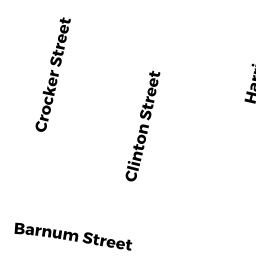
Three-Family Residential owned by HUXLEY WILLIAM C & SALLY A - 9 BARNUM PLACE
Single Family Residential owned by SILVIA TARAH A & JORDAN WHALLEY - 5 BARNUM PLACE
Single Family Residential owned by DEFRANCESCO ANITA J & LAWRENCE BRIAN C - 15R BARNUM STREET
Two-Family Residential owned by ALMEIDA EDUARDO - 13 BARNUM STREET
Single Family Residential owned by DESANGES EVELT & LOUISSAINT MIRTHO H - 43 EAST WALNUT STREET
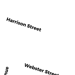
Two-Family Residential owned by DEMATOS WEBER C TR OF THE EAST - 41 EAST WALNUT STREET
Two-Family Residential owned by MIDDLETON TODD W